Marine interests in Jamaica set to benefit from updated hydrographic information
Published:Sunday | December 2, 2018 | 12:00 AM
Late last year, Jamaica embarked on the updating of its hydrographic charts in key maritime developmental areas to better facilitate coastal navigation, marine infrastructural works and other marine activities, through an assistance from the UK government.
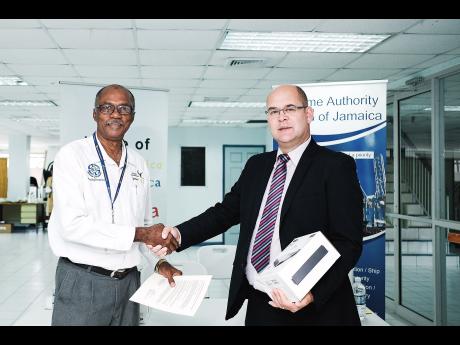
On November 12, 2018, the United Kingdom Hydrographic Office (UKHO) handed over the data resulting from the hydro-graphic surveys of Kingston Harbour and its approaches and Portland Bight. This work was conducted through the UK government's Foreign and Commonwealth Office initiative - the Commonwealth Marine Economics Programme (CMEP).
Welcoming the data, MAJ Director General, Rear Admiral (Ret'd) Peter Brady, who is also chair of Jamaica's National Hydrographic Committee - a subcommittee of the National Council on Ocean and Coastal Zone Management of Jamaica - said: "Shipping around Jamaica has increased over the years and the surveys of our nautical charts are very old. Ships have gotten bigger, their drafts have gotten deeper, and in order to ensure that Jamaica has safe waters, we need to know what the current depths and configurations of the seabed are around the coast of Jamaica and not just at the major ports and the channels. This latest survey conducted will bring navigation charts up to date, utilising the most modern surveying methods.
"This information will give navigators of ships more confidence in coming in to Jamaican waters."
As well as complying with the Jamaican Government's obligations under chapter five of the Safety of Life at Sea (SOLAS) Convention, which is enshrined in the Jamaica Shipping Act, updated charts will provide many other benefits, including ensuring that there are no undocumented wrecks or other materials on Jamaica's seabed, thus reducing the risk of shipwrecks or even damage to hulls and which can cause oil spills. Updated charts will also provide for effective emergency and disaster-response planning, development of shoreline management plans, and will benefit local fishermen, who will be able to accurately identify the active locations of fish populations.
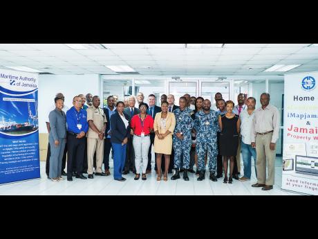
The Maritime Authority of Jamaica (MAJ) hosted a workshop in Kingston, conducted by UKHO, to officially hand over the data from the hydrographic surveys, prior to its transposing to nautical charts, which will be done in the UK shortly. The National Land Agency in Jamaica will be the repository of this hydrographic data. The UKHO has also left equipment with Jamaica so that the country can undertake its own hydrographic surveys in the future. The National Land Agency will be providing the surveyors.
Admiral Brady said: "This is important for people who want to navigate Jamaican waters or invest in maritime operations and infrastructure here, particularly in oil and gas or in maritime works, because the updated, more reliable charts will show not only depths and configuration, but also what is actually on the seabed at this time."
Ian Davies, UKHO hydro-graphic programme manager, and Chris Thorne, UKHO, head of partnering and engagement - Eastern Atlantic and Caribbean, delivered the workshop.
Thorne said: "Hopefully, the future is very bright for Jamaica. Their marine economic value will improve. There will be greater reliability in the data on the charts. The cruise industry will have more confidence in visiting Jamaica and to utilise more and more of the ports and harbours that are of significant value to the cruise industry. All the relevant Jamaican agencies should be able to utilise this data."
Davies discussed the findings of the hydrographic survey to a mixed group of stakeholders from government agencies, universities, ports and other interests.
The UK government-funded Commonwealth Marine Econo-mics Programme has not only benefited Jamaica, but also many other Commonwealth countries, including Guyana and small island developing states (SIDs) in the Pacific Community.