Annotto Bay’s many rivers to cross
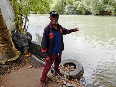
The Gleaner team stepped off the main road in Annotto Bay and headed down several flights of stairs into Vincent Maragh’s yard. We were now level with the Pencar River, which was just a mere three feet away from one of several houses in the yard.
The river was calm that day and posed no threat.
But in the course of the 76 years that Maragh has lived at that location, he has been flooded out several times, not surprisingly. He has never thought of relocating though because, as he puts it, “a family land”.
Maybe the fact that he has spent the past 60-plus years as a fisherman also makes him feel comfortable being so close to the water, despite the numerous times flooding have taken place and despite the ever-present danger, especially during the hurricane season.
He stated that several politicians and other persons in authority have visited the premises in the past, but have not done anything to alleviate the threat of the river.
At 76 years old, Maragh would have survived some of the more serious incidents of flooding in Annotto Bay, some of which occurred in 1948, 1988, 1999 and 2001, and even in 2012 when flooding brought about by Hurricane Sandy destroyed seven houses in the St Mary town.
“Seventy-six years mi a duh yah suh; mi bawn an’ grow yah suh,” he asserted.
“Mi tiad fi get flood out, man, mi tiad fi get it; and nobody nuh business wid we. No government nuh business wid we!”
A 2013 Multi-Hazard Risk Assessment by the Mitigation, Planning and Research Division of the Office of Disaster and Emergency Management (ODPEM) concluded that the “causative factors for flooding (in Annotto Bay) relate to the location of the community being on an active floodplain of three rivers, coupled with the low-lying topography of the area” .
The study said the worst flood events recorded in the town occurred in 1933, 1948, 1988, 1999, and 2001.
In March 1999, heavy rains over two days caused the Pencar River to overflow, resulting in several homes being washed out and the Fort George Bridge collapsing, isolating around 7,000 persons.
In 2001, the Pencar River again overflowed, affecting over 300 households and businesses, along with schools, the hospital and the fire station.
The ODPEM assessment lists Annotto Bay as one of the ‘high-risk communities’ in the country, the town having been affected by over 30 major floods and six storm surges in the last 120 years. On average, it means, therefore, that every three and a half years, Annotto Bay is affected by rising waters.
Maragh thinks that something can be done to alleviate the flooding.
“Mi think dem fi do di river training, that everybody can live happy, an’ wi jus sit inna wi yard an’ we alright. But every time rain fall wi haffi fret about the river comin’ down pon we,” he stated.
When it’s time for fishing, Maragh simply sails out from his backyard, whether he’s going out to sea or using the river for a daily catch. Other persons in the community also fish in the river.
Rafting and boat riding sometimes takes place, but is not common practice.
A few hundred metres to the west lies the less potent Annotto River.
Friendly river
Depending on which side of the river one lives, the tales would be one of a friendly or feisty river.
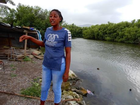
Similar to Maragh, Khadijah Walsh has lived at the river’s edge for 43 years. She has even dumped a section of the Annotto River to expand her land space.
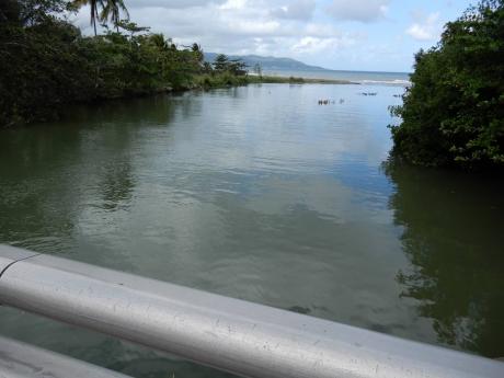
“Mi live here so 43 years an’ a two time we ever flood out,” she told The Gleaner. “As long as the river mouth can burst (open to let the water out to the sea), it’s no threat,” she added.
As far as she is aware, except for one person, no fishing is done in the river.
“But nobody nuh use this water fi drink, to bathe inna, to wash inna, no time. That a before mi born. It was clean water, but it get so contaminated by the Gray’s Inn factory and the Nutri factory, things that they let off inna it, it spoil it,” she alleged.
“But it nuh come dung fi affect we because we couldn’t build house so near it. If it did push with the force of Pencar or Wag (Water), there’s no way [we could live here.]”
Across the river, along Cane Lane, the story is different.
Mackie, who has been living at that location for around five years, and Ver, whose tenure stretches beyond that, have both been affected by flooding, to different degrees.
“The water did not reach in my house, but where the lane is concerned, it really flood it. When the river (mouth) is not open, automatically the water comes over,” Mackie explained.
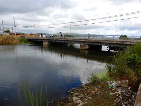
He added that the river was not a direct threat to him at this time and what was of greater concern was the dumping of garbage by residents at the riverside.
As for Ver, she has had her house flooded more than once, and has even had her furniture damaged on one occasion.
“When the rain falls heavy we flood out, but not recently. Last time was the last hurricane, last year. The water come inna di house and everything wet up,” she revealed. She said nothing was damaged on that occasion.
relocation
Neither resident embraced the idea of relocation, with Mackie even suggesting that people living in the lane would not be willing to relocate.
“I don’t think people would be willing to relocate. As you know, we Jamaicans, some of us are so stubborn, but I think the MP (Member of Parliament Dr Norman Dunn) can come and have a meeting with the residents and get a feedback as to what would be better for them, or for us,” he suggested.
Ver is fearful that she might eventually be flooded out and be forced to relocate; that’s the only way she would, she suggested.
“Fearful yes, but I hope no hurricane nuh come. But I think the river need to fix, clean out,” she added.
Just west of Annotto Bay lies the Wag Water River, otherwise called the Agualta Vale river. This river rises from the mountainous regions of St Andrew and runs for just over 36 kilometres, emptying into the sea at Annotto Bay. More importantly, the river is dammed near Stony Hill in St Andrew to provide water to the parishes of Kingston and St Andrew.


