Data analytics and geospatial mapping for disaster risk assessment
Over the years, Jamaica has encountered a rising frequency of natural disasters, ranging from hurricanes and floods to earthquakes and landslides. These events pose significant threats to public health, highlighting the critical need for proactive disaster risk assessment and management strategies.
Advanced data analytics and geospatial mapping technologies play pivotal roles in these efforts, empowering authorities to more effectively assess and predict health risks associated with disasters.
Data analytics forms the backbone of disaster preparedness and response efforts by processing vast datasets to derive actionable insights. In Jamaica, leveraging demographic data, environmental factors, and healthcare facility capacities and resources through advanced analytics tools would enable authorities to pinpoint vulnerable populations.
By analysing demographic details such as age, income levels, and health conditions within specific geographic areas, the health authorities can identify groups that may require specialised medical attention or evacuation assistance during disasters, such as the elderly or those with chronic illnesses.
Data analytics also facilitates the assessment of potential health risks linked to disasters, such as post-flooding waterborne diseases or respiratory issues stemming from air pollution caused by debris. By integrating historical data with predictive modelling, the probability and severity of these risks can be gauged, thereby supporting targeted mitigation strategies.
Efficient resource allocation is another critical aspect facilitated by data analytics. Analysing healthcare facility capacities and resources against their geographical distribution can help to optimise the deployment of resources like medical supplies, personnel, and evacuation plans based on proximity to vulnerable populations and anticipated disaster impact zones. This precision enhances the effectiveness and efficiency of response efforts, particularly when resources are limited, and demand is high.
Geospatial mapping technologies complement data analytics by visually representing spatial data, enabling response agencies to grasp geographical relationships and patterns crucial for disaster risk management. We can use these technologies to identify areas prone to specific hazards such as flooding, landslides, or seismic activity. This information guides urban planning, infrastructure development, and zoning regulations to minimise exposure and bolster resilience against disasters.
It can also help with effective planning and response strategies for the specific communities that may be most affected. Overlaying demographic and environmental data on maps help visualise vulnerable communities and their proximity to hazardous areas. This spatial analysis informs targeted interventions such as early warning systems, evacuation routes, and emergency shelters, ensuring that response efforts are tailored to meet specific community needs.
In addition, geospatial data can monitor environmental factors like air quality, water contamination, and ecological changes post-disaster. Continuous monitoring supports timely interventions to mitigate health risks and restore environmental health, thereby safeguarding public well-being in the aftermath of disasters.
There are several sophisticated tools and technologies that can be used to harness the potential of data analytics and geospatial mapping for disaster risk assessment. These include remote sensing and satellite imagery for real-time environmental monitoring, GIS (Geographic Information System) platforms for integrating spatial data layers and creating interactive hazard maps, predictive analytics software for forecasting disaster impacts and resource needs, and mobile data collection apps for rapid field assessments during emergencies.
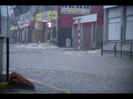
During the hurricane season, we must leverage these technologies to enhance preparedness and response efforts significantly. We have several communities, large and small, that are affected by flooding, for example. GIS analysis can identify the most high-risk areas prone to flooding or storm surge, guiding evacuation routes and shelter locations.
Moreover, data analytics assesses healthcare facility capacities and patient demographics to optimise resource allocation for medical supplies, personnel, and emergency medical services deployment.
If we integrate data analytics and geospatial mapping technologies, we would be better able to assess and predict health risks associated with disasters in Jamaica, reducing our planning and response time and getting aid to people much sooner. This would also lead to quicker recovery.
As Jamaica continues to advance in technology and data-driven decision-making, the ongoing integration of these tools into disaster risk management strategies will be crucial for building resilience and safeguarding communities across the island. We now need to ensure that we build a robust database to guide our analysis.
- Doug Halsall is the chairman and CEO of Advanced Integrated Systems. Email feedback to doug.halsall@gmail.com and editorial@gleanerjm.com


